



Strengthening Partnerships Across Sectors: Geospectrum’s Highlights from July to October 2025
By Josh Tabernilla, Technical Marketing Specialist
Geospectrum Marketing Services | Jan 05, 2026
READ TIME: 5 MINUTES
True to its mission of promoting reliable and cost-effective geospatial solutions to support national development, Geospectrum takes pride in its commitment to strengthening connections across sectors. The following accomplishments in 2025 highlight the continued efforts in establishing new bridges and sustaining existing partnerships from skies to seas to cities.
July 2025: CAAP eTOD Launching
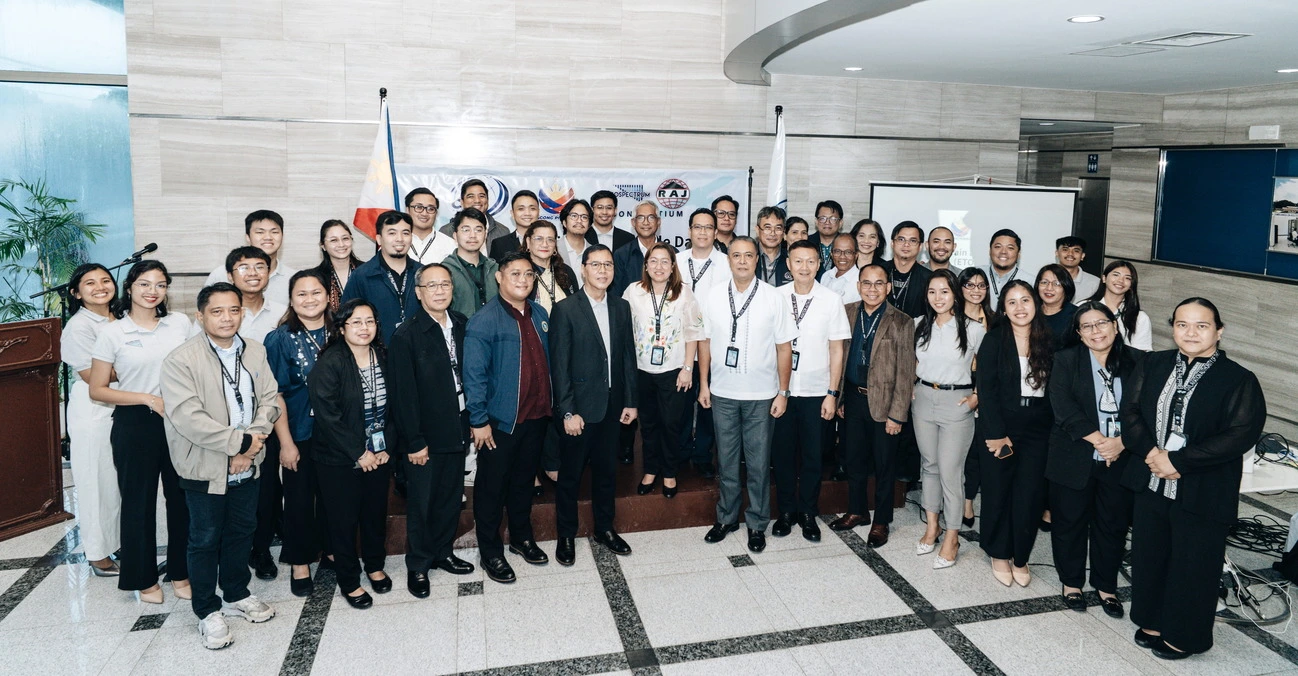
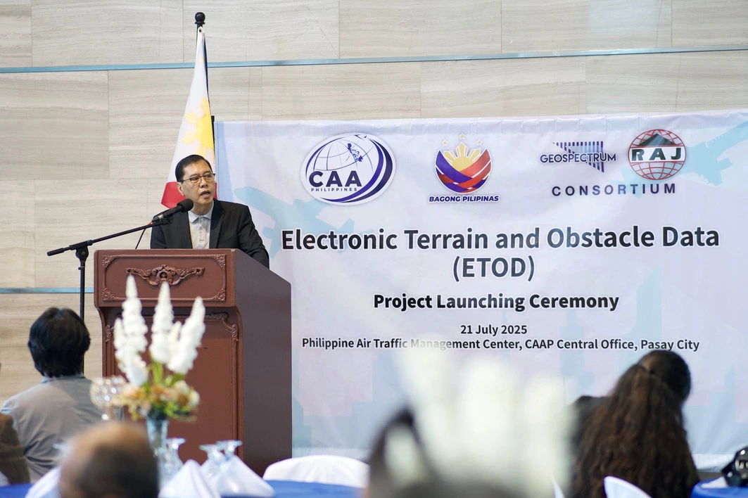
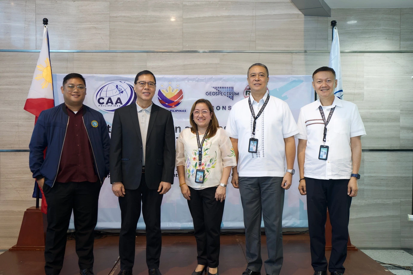
Beginning on July 21, the Civil Aviation Authority of the Philippines (CAAP) officially launched the
Electronic Terrain and Obstacle Data (eTOD) Project at the Philippine Air Traffic Management Center
(ATMC), CAAP Central Office, Pasay City, marking a key step in digitalizing the country’s
aeronautical information systems.
Organized by the Geospectrum–RAJ Laurente Surveying Consortium, the launch event was graced by CAAP
Director General Lt Gen Raul Del Rosario AFP (Ret), who emphasized that “safe and efficient air
operations rely on accurate, timely, and reliable data.”
As the project proponent, Geospectrum–RAJ promised to deliver ICAO (International Civil Aviation
Organization) compliant, satellite-based terrain, and obstacle datasets for Laoag, Kalibo, Puerto
Princesa, and Iloilo airports.
Mr. Virgilio Santos, General Manager of Geospectrum, stated that this project lays advanced
fundamentals for improved airspace safety and future-ready digital aviation, paving the way for
similar advancements and related technologies in other airports in the Philippines.
August 2025: Sea from Space
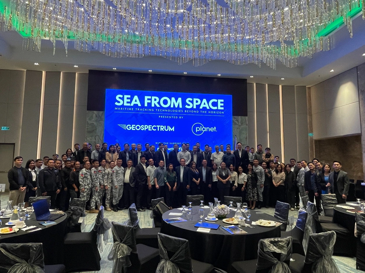
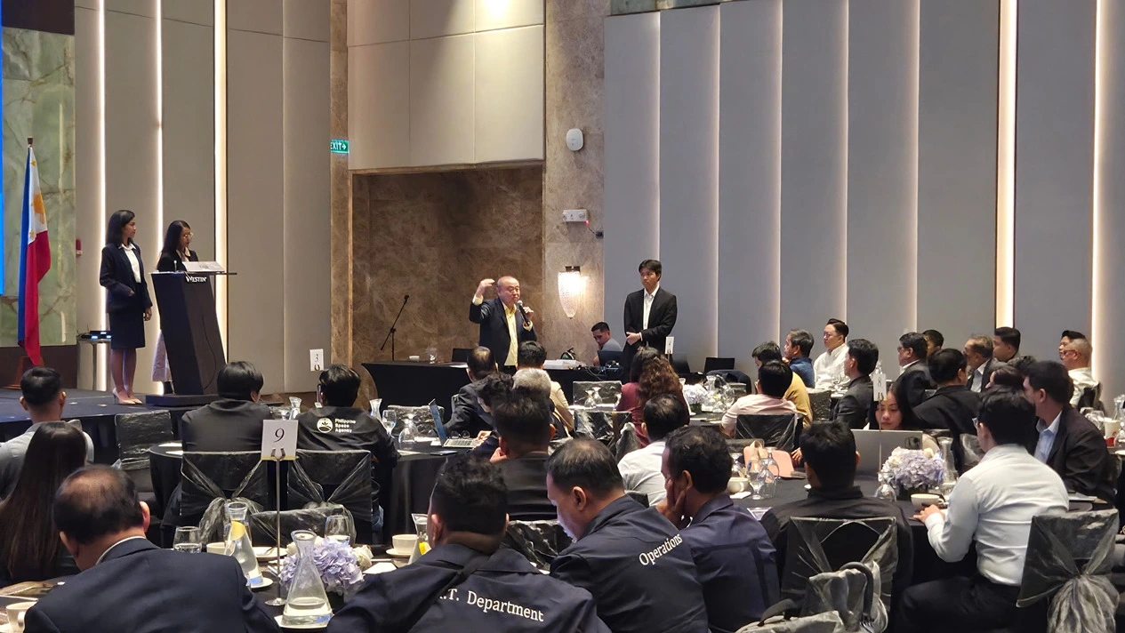
The following month saw Geospectrum hosting ‘Sea From Space: Marine Traffic Beyond the Horizon’ at
The Westin Manila on August 28, gathering over 70 representatives from the public, private,
academia, and defense sectors. The event highlighted the growing role of space-based and geospatial
technologies in supporting the Philippine maritime industry.
The program featured keynote presentations from Geospectrum’s global partners: Planet Labs,
represented by Shih Shen Wong and Siti Baizura Alidin; and Kpler, represented by Joses Sim Tian
Ping.
Planet demonstrated applications of high-cadence medium-to-high resolution satellite imagery and
advanced vessel-tracking systems, while Kpler highlighted its expertise in maritime analytics
through MarineTraffic, particularly in monitoring global shipping flows, port activities, and
commodity movements.
During the question-and-answer portion, participants engaged the speakers with practical concerns
and use cases, leading to a dynamic exchange that underscored how geospatial technologies can be
applied to real-world maritime challenges, including the rising tension over the West Philippine
Sea.
September 2025: LLPDCI (Batangas Chapter) General Assembly
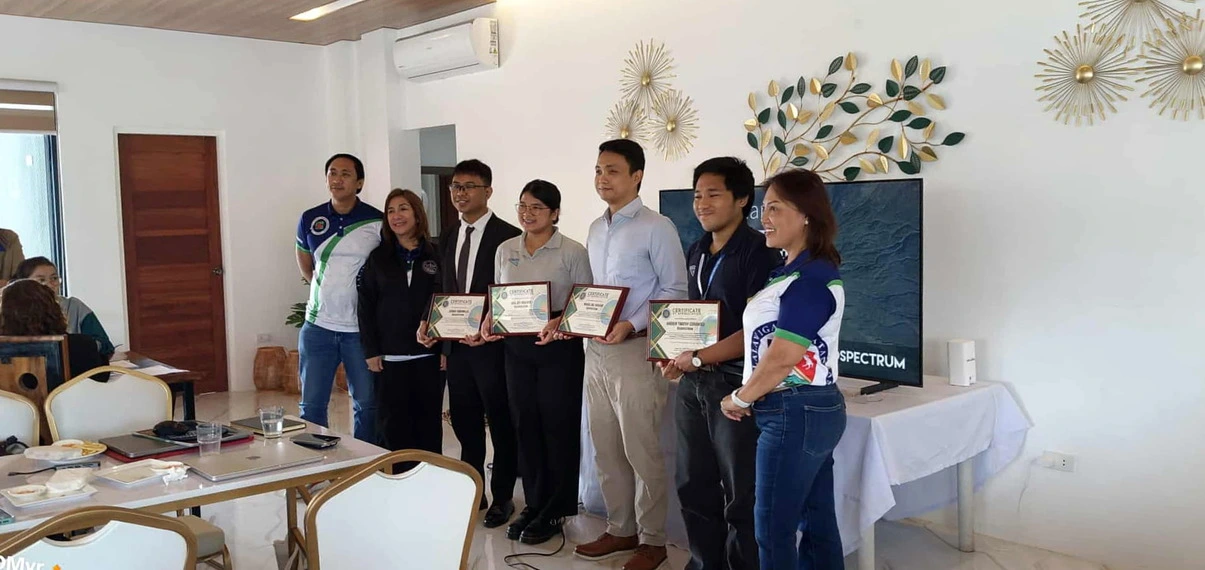
On September 23, Geospectrum graced the kind invitation of the Batangas Chapter of League of Local
Planning and Development Coordinators of the Philippines, Inc. (LLPDCI) to be the resource speaker
for their Monthly General Assembly.
Taking place at Brgy. Malaruhatan, Lian, Batangas, the event unlocked important discussions on the
mission of Batangas LGUs to bring about socio-economic progress in their respective jurisdictions
and how this aligns well with Geospectrum’s advocacy to advance development planning through our
custom geospatial platforms.
From the concept of smart cities to E-Governance Act of 2025, Geospectrum dwelled on SEEDs (Social,
Economic, Environmental, Demographic Information Systems) for the use and benefit of various LGUs in
the country. A homegrown web-based portal, SEEDs aims to help
offices such as the City Planning and Development Office (CPDO) in centralizing, visualizing, and
analyzing data, ensuring data-driven decisions for a more sustainable future.
The presentation concluded with a revitalized perspective on the digitalization efforts of LGUs,
signaling a pivotal step toward integrating custom geospatial solutions into public sector
operations.
October 2025: SRDP Defense Industry Forum
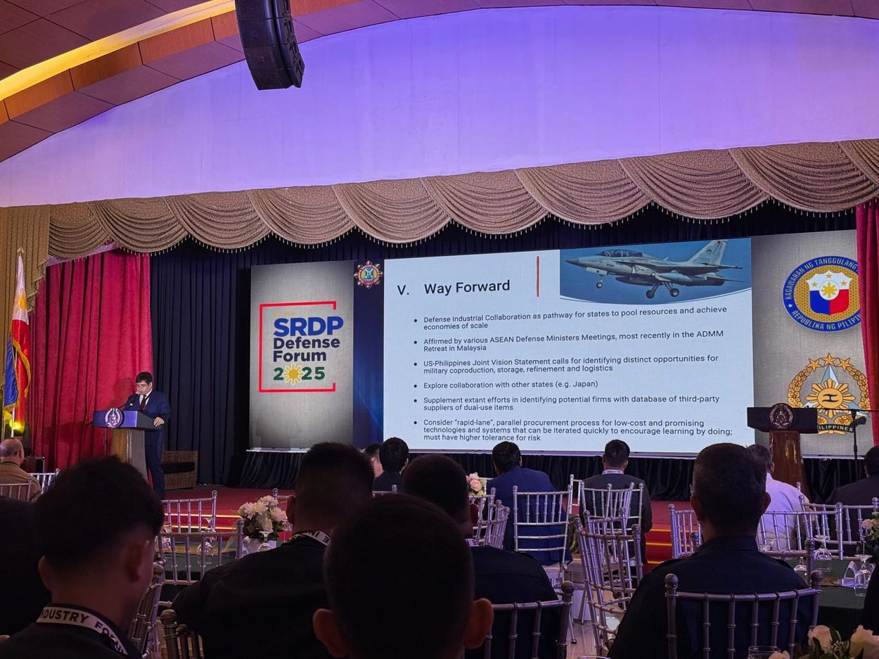
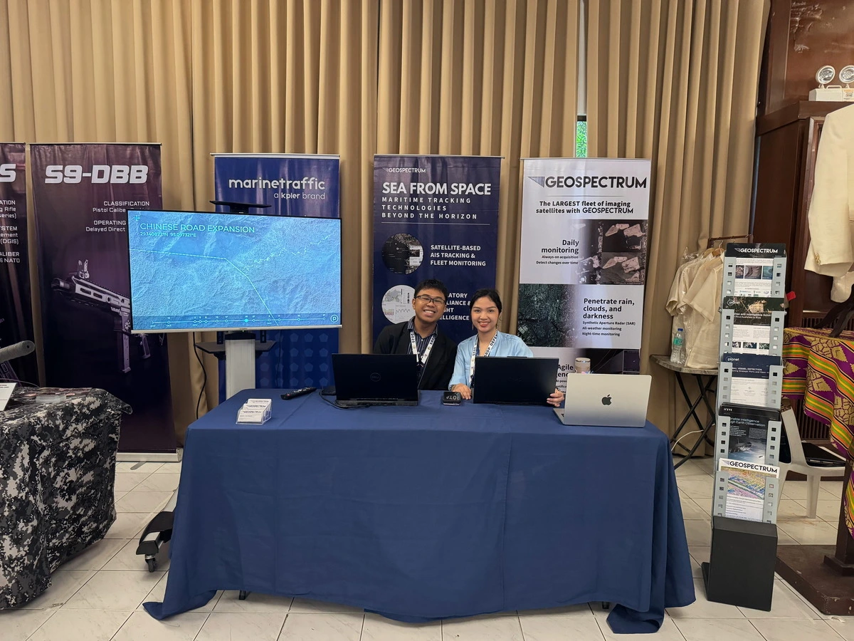
Lastly, the Self-Reliant Defense Posture (SRDP) Defense Industry Forum held on October 9-10 provided
an avenue for Geospectrum to stress the relevance of space-based technologies, geospatial analytics,
and homegrown platforms on sustainable national defense capability development.
Organized by the Armed Forces of the Philippines Systems Engineering and Modernization Office
(AFPSEMO) in collaboration with the Office of the Defense Technology Research and Industry
Development (ODTRID) of Department of National Defense (DND), the two-day forum was attended by
members of Geospectrum’s marketing team who showcased the power of Planet’s optical satellite
imagery and Marine Traffic’s vessel tracking technology in advancing the missions of the defense
sectors over land, sea, or air.
Surrounded by the military, government, and industry partners, Geospectrum witnessed the importance
of strengthening local defense capabilities through sustained collaboration with stakeholders and
strategic investments under the SRDP program, as emphasized by the speech of AFP Chief of Staff
General Romeo S Brawner Jr. through AFP Vice Chief of Staff LtGen Jimmy D Larida.
Here at Geospectrum, we turn information into action, data into decisions. Our core competencies—satellite imagery, analytics, and custom geospatial solutions—empower us to address geospatial gaps, foster long-lasting partnerships, and accommodate the growing needs of our customers. For any inquiries or solutions you may need, send us an email at info@geospectrum.com.ph. Our website (www.geospectrum.com.ph) also provides more details about the products and services we offer.
